The Data Appeal Company: Territorial API
Welcome to the Territorial API documentation, a developer guide designed to help efficiently use Territorial API.
Territorial API provides valuable insights about any location in the world.
A location can be identified using three different methods described below:
| Method | Example on map |
|---|---|
| Administrative Area | 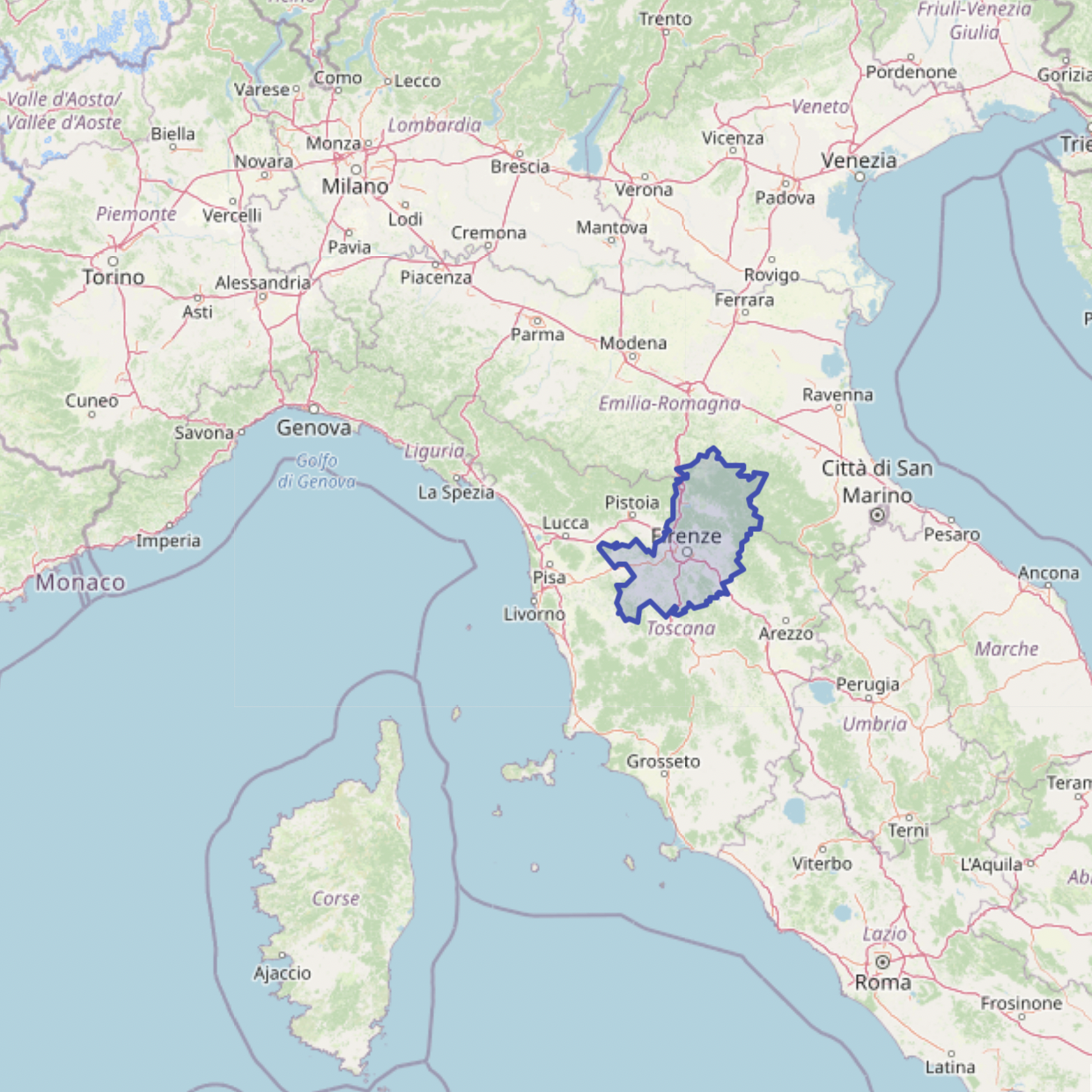 |
The following administrative divisions' hierarchy can be used to determine a location:
| |
| Geometry | 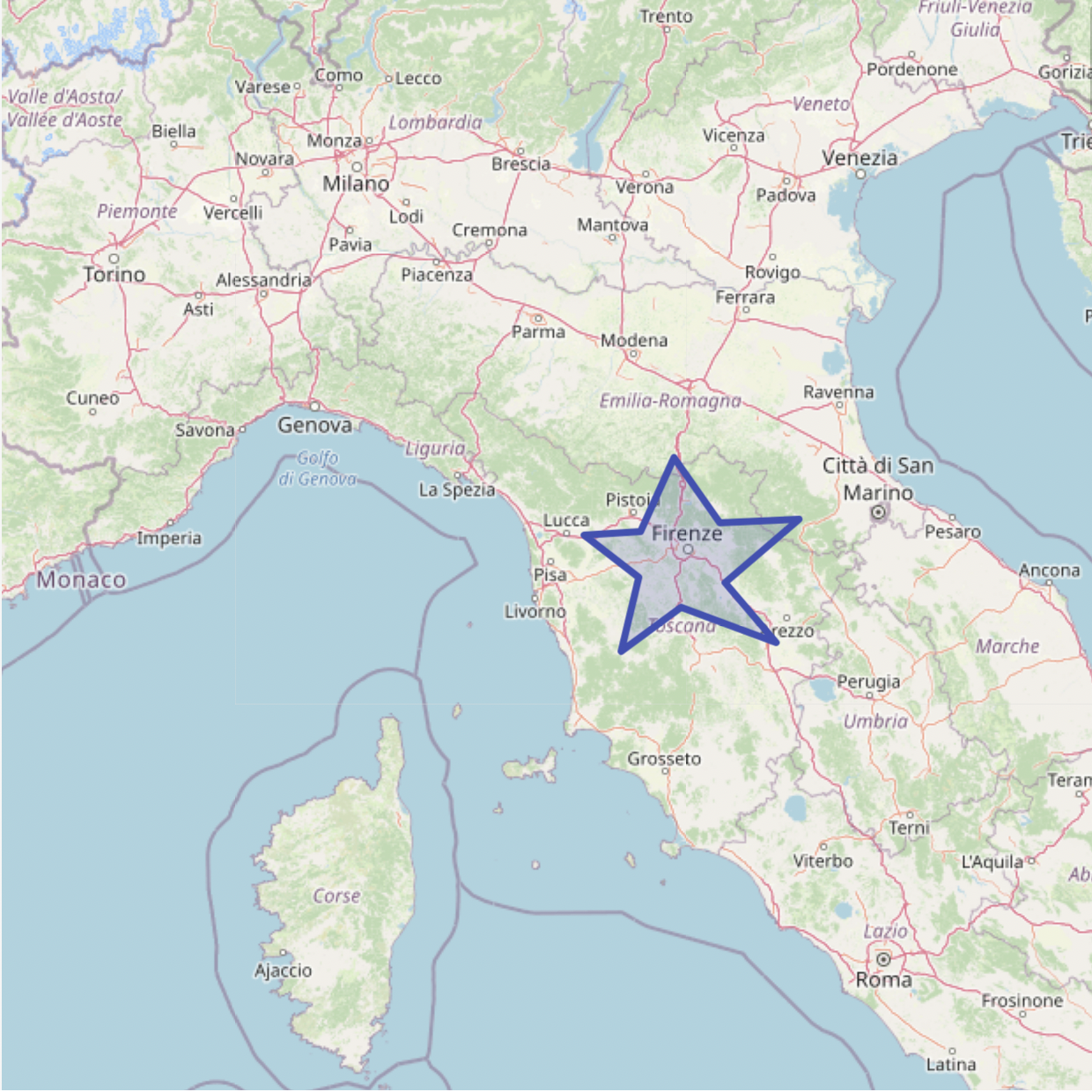 |
Standard format WKT can be used to determine a location enclosed within a single or multiple polygons:
| |
| Circle | 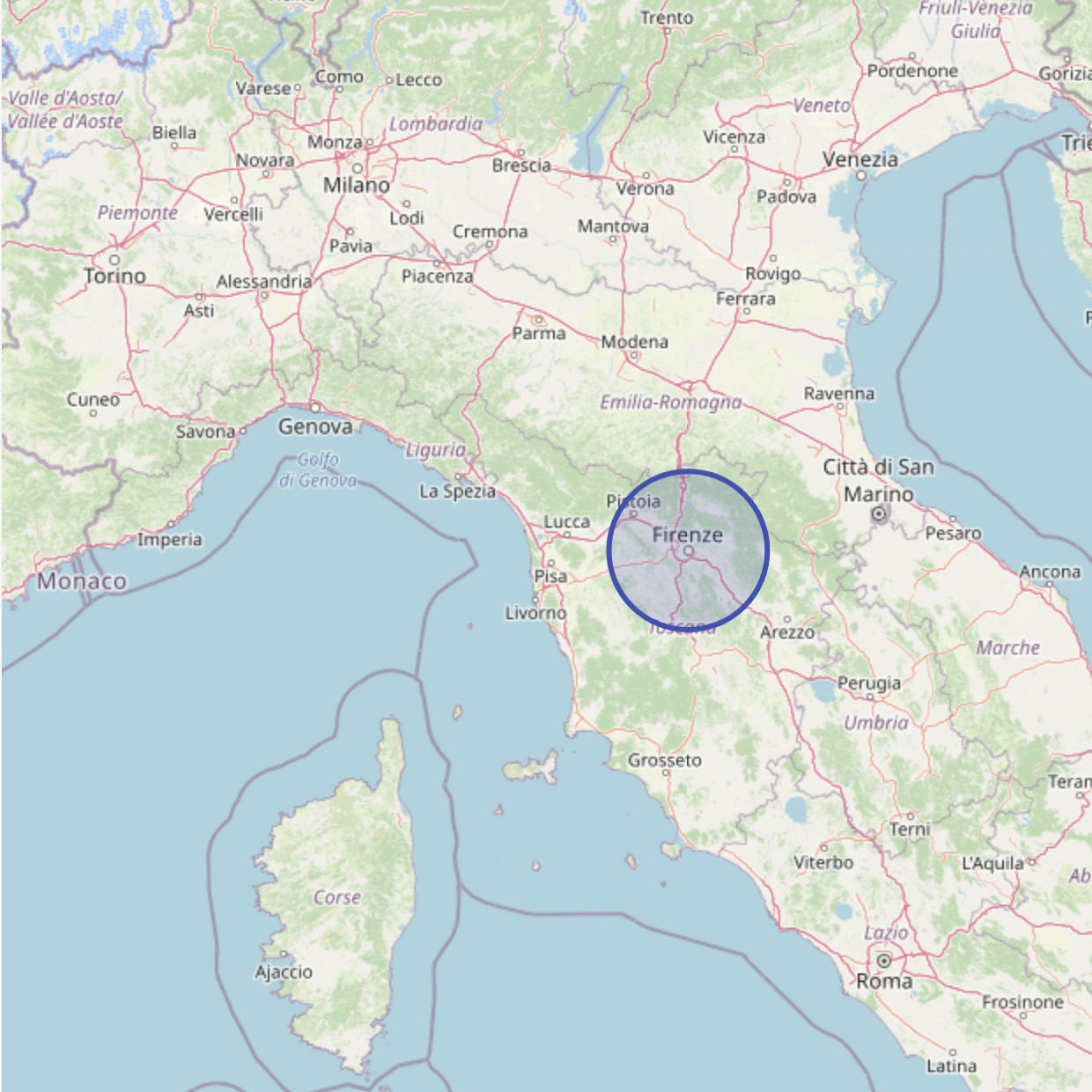 |
A location can be determined by the enclosing area of a circle, specifying its center coordinates and radius:
|
Data for a location is determined by the aggregation of POIs in the selected geographic area.
Data Appeal uses REST-based API, which has predictable, resource-oriented URLs and uses HTTP response codes to indicate API errors.
Built-in HTTP features, such as HTTP authentication and HTTP methods, ensure compliance with off-the-shelf HTTP clients.
JSON is returned by all API responses, allowing conversion to appropriate language-specific objects.
All API requests must be performed via HTTPS. Calls made over plain HTTP will be redirected to HTTPS protocol. API requests without authentication will fail.
This document will outline requests, responses, usage limits and the API Set in detail.